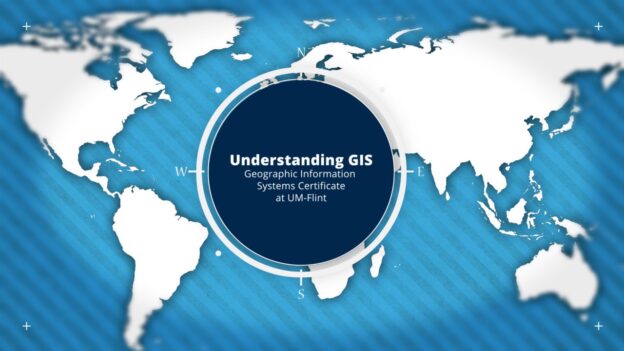
CAS Student Ambassador April Bartle is exploring the different academic programs offered by the College of Arts & Sciences. Read what April learned about the GIS Certificate in this article.
When I think of the term “map-maker”, the olden days come to mind, when maps were created by quill pens and ink. Maps are an immensely valuable tool that can help scientists find solutions to problems based on spatial data. I had the opportunity to speak with Professor Greg Rybarczyk, Associate Professor of Geography, who talked me through UM-Flint’s Geographic Information Systems Certificate Program.
What is it?

Since 2010, Professor Greg Rybarczyk has been passionate about teaching students the value of maps at UM-Flint. He’s in charge of making the GIS certification curriculum the best it can be for students. GIS stands for geographic information systems, which is essentially using maps to convey data, and then furthermore using that data to solve or understand a problem. It may seem simple by nature, but like every iceberg, much more lies beneath than it appears. Students will learn to be critical thinkers through their use of managing data, manipulating data, and displaying that data on a map. They will be trained in using computer software to aid the visuals and process the information gathered for a cartographic product. By having knowledge of information as it applies to an area, predictions can be made to solve tomorrow’s problems. As Professor Rybarczyk likes to put it, the GIS field is the pursuit of the “whys of the where”.
Basic structure of the program
For those of you itching to get a feel for the field, the course GIS 203, entitled “Mapping and Spatial Data Science” is an excellent first look at geographic information systems. Students get a broad overview of the program, including how to design a map, the ethics of spatial data, and get hands-on using geographic software. If a student is interested in continuing with the program, only four more courses are needed to complete the certification. Students in the program can choose their final course from a variety of seven subject area topics. A popular class among students is the GIS Project Management course. Throughout the semester, students use real-world data to construct a map using geographic software and present their project’s findings. At the end of the course, students will have obtained experience through a GIS project and have pieces to add to their portfolios. Learn more about the GIS certificate here.
Career Possibilities
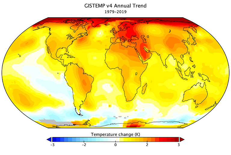
Careers in GIS geospatial technology are on the rise. Being able to understand and display data for others to utilize is an extremely valuable tool. Stop for a minute and think about those big-name shipping companies. Data is being stored, reporting where levels of delivery are high, and where they are low. Converting that data onto a map can be used to target patterns in areas where delivery levels are lower. More data can be obtained in those areas to determine how to better market and increase delivery usage for that specific region. GIS also makes an appearance in environmental sciences. Viewing levels of temperature changes on a map can help scientists easily compare where more CO2 is being released into the air. Scientists can further use this knowledge to compare what other factors based on geographical features play a role in high temperatures.